North Idaho Scenic Byways and Road trips

One of the best ways to experience the splendor of north Idaho is by taking a road trip along one or more of the seven scenic byways that stretch the Panhandle region.
Beginning in Cataldo, the White Pine Scenic Byway passes through the lush forests of Idaho’s timber country and the numerous lakes and marshlands of the lower Coeur d’Alene River to the town of St. Maries. Stop and tour the Hughes House Museum or take advantage of the many outdoor activities before crossing two picturesque rivers—the St. Maries and St. Joe—and continuing on to the rolling hills of the Palouse.
Beginning at the town of St. Maries, the St. Joe River Scenic Byway travels east under the shadows of towering cottonwoods adorning the shoreline. Among these trees, you’ll spot bald eagles and osprey, which use the trees as nesting sites and perches. If you’re lucky, you’ll see them swoop into the river to retrieve their meal. Traveling along the river’s edge, you’ll encounter picturesque mountain landscapes that are captured on the watery canvas. Keep your eye out for elk, deer, moose and bear, and stop and fish for rainbow, cutthroat and other species of trout. Tour the logging display at Marble Creek Interpretive Center. Then stop and feed the trout and visit the Avery Depot—a historic former railroad station on The Milwaukee Road.
Travel by lakes and mountains and through gentle hills and dense forest along the Lake Coeur d’Alene Scenic Byway. The route travels south along the eastern shoreline of Lake Coeur d’Alene—a popular summer destination and home to the largest population of nesting osprey in the western U.S. Stop as well as majestic bald eagles, moose, deer, elk, bear and numerous other species of birds. Stop and stretch your legs on the Mineral Ridge Trail, which offers panoramic views of the lake and learning stations describing the area’s plant and animal life.
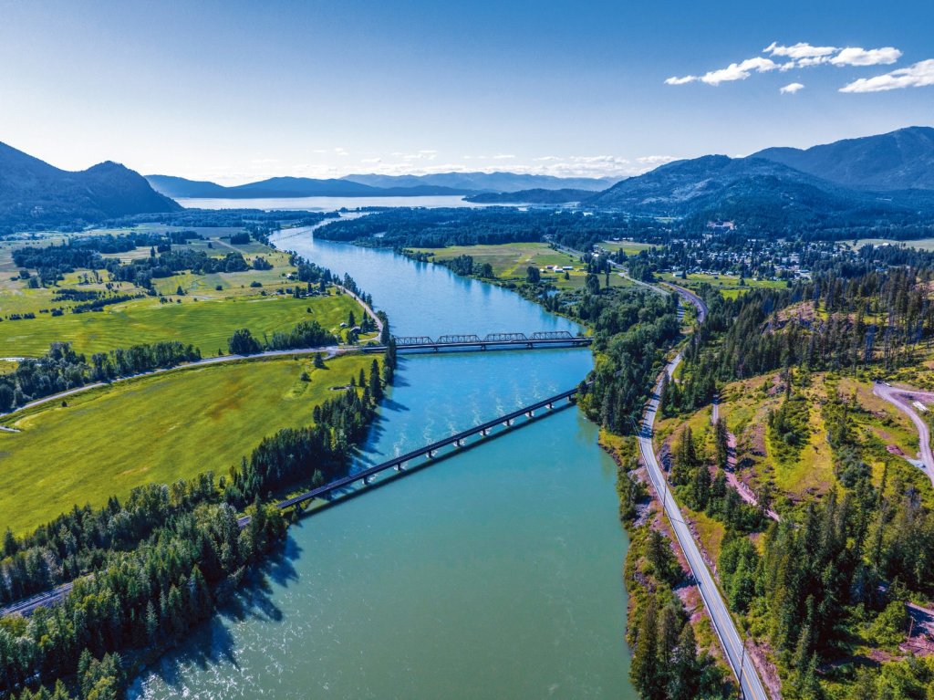
The Panhandle Historic Rivers Passage Scenic Byway begins at the Idaho-Washington border and follows the northern shore of the Pend Oreille River through Oldtown, Priest River and ends in Sandpoint. Drive along miles of soothing river scenery reflecting the pastoral beauty of the surrounding forests and farms. Enjoy spotting seasonal wildlife, birds of prey and waterfowl or stop and explore the history of northern Idaho in three different museums along the byway. The Pend Oreille River provides opportunities to swim or boat along spacious, gently flowing waters. In winter, enjoy alpine and Nordic skiing or tubing at Schweitzer.
The Pend Oreille Scenic Byway offers travelers some of Idaho’s most spectacular water views. The route meanders eastward across farmlands, through river deltas, and along the rocky northern shores of Lake Pend Oreille to the Idaho-Montana border. Pullouts along the byway allow visitors to stop and enjoy breathtaking vistas of mountainous horizons framing miles of open water. The region’s distinctive four seasons offer outstanding opportunities for swimming, fishing, boating, golfing, hiking, hunting, birding, alpine skiing and snowmobiling. Visitors can find a variety of camping and accommodations along the way— from mountain campsites and shoreline campgrounds to RV parks and lakefront lodging.
The International Selkirk Loop Scenic Drive is North America’s only multinational scenic loop. This 280-mile route follows rivers and lakeshores and travels through the Selkirk Mountains into British Columbia—areas once used for transportation by native tribes, explorers and early settlers. Today, the route offers access to myriad opportunities for year-round recreation, splendid beauty and exploring charming small towns.
The Wild Horse Trail Scenic Byway is part of the International Selkirk Loop and starts on the northwestern shores of Lake Pend Oreille in Sandpoint. The route travels north along the eastern side of the Selkirk Mountains, following the Kootenai Tribe’s historic path to fishing grounds at Lake Pend Oreille. Just south of Bonners Ferry, a stunning wide glacial valley comes into view, revealing fertile lands supporting a wide variety of agriculture throughout the Kootenai Valley.

